What is Geodetic Datum
Geodetic Datum
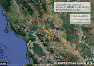
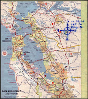
The horizontal datum is the model used to measure positions on the Earth. A specific point on the Earth can have substantially different coordinates, depending on the datum used to make the measurement. There are hundreds of local horizontal datums around the world, usually referenced to some convenient local reference point.
https://en.wikipedia.org/wiki/Geodetic_datum


Comments
Post a Comment